Collaborative Initiative on the Scientific Forest Management in Himachal Pradesh
16.01.24
On 15 January 2024, the Himachal Pradesh Forest Department (HPFD) and the Initiative on the Forest Economy (IoFE), led by the Bharti Institute of Public Policy (BIPP), Indian School of Business (ISB), launched a collaborative project. The initiative aims to inventory major seasonal forest products (SFPs), estimate their occurrence and distribution, and project potential revenue through sustainable management and regulated trade.
The first phase of nCount training was implemented across six forest divisions: Ani, Dehra, Nachan, Nurpur, Palampur, and Paonta. Over two months, HPFD successfully collected approximately 40,000 data points on various forest species.
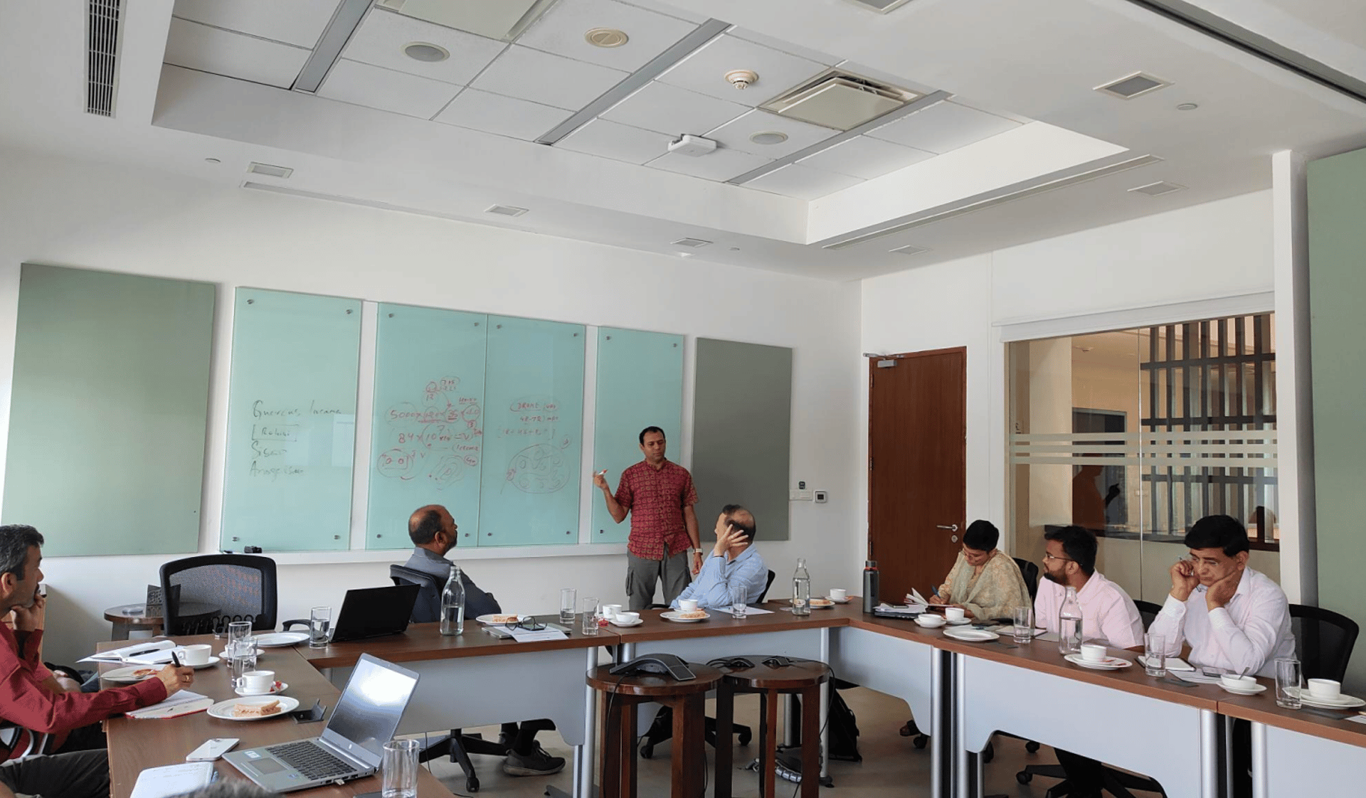
On 9 June 2024, a review meeting was held at ISB, Mohali. The meeting allowed forest officials to share on-ground experiences, raise queries, and provide feedback for planning Phase II. This feedback helped refine the nCount technology for more effective implementation.
Prof. Ashwini Chhatre, Executive Director, BIPP–ISB, welcomed HPFD officials and outlined the agenda. He emphasised that insights from nCount could strengthen forest economy initiatives and establish it as a modern forest management tool for other states.
Dr Pushpendra Rana, Additional Principal Chief Conservator of Forests (APCCF), highlighted the platform’s benefits for both HPFD and forest-dependent communities. He explained how integrating artificial intelligence (AI) and machine learning would create a verified inventory of SFPs and track annual changes, assisting in working plans and resource management.
Phase I: Data Collection and Review
During the meeting, foresters reported both positive outcomes and challenges in using the nCount and Open Data Kit (ODK) technologies. Key points included:
Data Collection: Achieving the required number of data points for shrubs and herbs was difficult in areas with limited staff. Capturing photographs of tall trees and dense vegetation was also challenging, as the protocol prohibited zooming. Accuracy requirements of 5 metres in dense forests were hard to meet, leading to a proposal to increase the threshold to 10 metres.
Species Selection: Suggestions were made to broaden the range of species recorded, as sal trees, though abundant in some divisions, were underrepresented. The recommended species included shisham, dhau, curry patta, garna, rohini, ban oak, deodar, and various bamboo species. Of these, only deodar and ban oak were approved for addition to the ODK platform.
Knowledge Gaps: Forest guards were found to require additional training in identifying medicinal plants, herbs, and shrubs. Expert-led workshops were proposed to address this gap.
Technical Issues: The lack of ODK access for iPhone users was noted, with assurances of an upcoming compatible version. Concerns were raised about capturing data for shrubs and herbs, particularly regarding the feasibility of using satellite imagery. Challenges in creating small polygons of 5 metres were also discussed, leading to suggestions for adopting larger polygons.
A monitoring dashboard is under development to help Divisional Forest Officers (DFOs) track progress and plan more effectively.
Feedback on nCount Technology
Forest guards were noted to have limited knowledge of medicinal plants, herbs, and shrubs, indicating a need for additional training workshops led by experts. It was suggested that traditional area sampling techniques be employed instead of tree species sampling. However, it was explained that the AI-based model addresses the limitations of area sampling by using satellite imagery to generate prediction models.
A new monitoring dashboard is being developed to help DFOs track progress and plan better. Additionally, the lack of access to ODK for iPhone users was highlighted, with assurances that an iPhone-compatible version would be available soon. Concerns were also raised about capturing data for herbs and shrubs, with questions about the feasibility of using satellite imagery for this purpose. Challenges in creating small polygons of 5 meters were also discussed, with the need for larger polygons being recognized.
Other Observations
The meeting also included a presentation of Phase I results, showing that approximately 40,000 data points had been collected. Species distribution maps were displayed, and the process behind their creation was explained. Five species were classified: Himalayan yew, sal, rhododendron, khair, and wild mango.
Our team clarified that the AI model addresses the inherent limitations of area sampling methods, using satellite imagery, spectral data, and other parameters to build a comprehensive prediction model. The issue of visualising species distribution at different scales was also addressed, with emphasis on the need for more data points to enhance accuracy.
Validation techniques were reviewed, including Google Earth snapshots and point cloud simulations, both of which demonstrated high accuracy in species identification and geometry reconstruction. The meeting concluded with an emphasis on the need to collect at least 5,000 data points per species to ensure robust validation. Once this threshold is reached, the model will be used to generate predictions, which will then undergo further validation.
Technical Insights from Phase I
The review meeting also discussed the roadmap for Phase II. This phase will focus on strategic species selection and extensive data collection to improve forest management. Mr Pushpendra Rana highlighted that drone technology would aid in identifying forest fire locations and water storage areas, enhancing resource mapping and rejuvenation efforts.
Prof. Chhatre emphasised the importance of prioritising species with high market potential, such as camellia, which is expected to gain value as a nature-based substitute in the chemical industry. This strategic preparation will attract industry partners interested in sustainably harvested forest products, benefiting forest-dependent communities.
Way Forward: Phase II of nCount Implementation
Data Collection: At least 5,000 data points per species are to be collected to ensure comprehensive coverage and accuracy. The inventory will be expanded by adding at least 40 new high-altitude species, such as grey or moru oak, deodar, rohini, sea buckthorn, and kadu. Data collection is scheduled to begin in July and continue for two months, targeting locations such as Pangi, Rohru, Spiti, Nachan, and Nurpur. Foresters will capture polygons within a 10-metre range, take non-zoomed leaf photographs, and ensure accurate data collection for bamboo species.
Drone Mapping: Drone mapping is scheduled to commence on 25 June, with technical team members and foresters visiting high-altitude regions. The drones, equipped with 4872-megapixel cameras and three sensors, will accurately georeference structural data to gather points for herbs. In collaboration with the Indian Institute of Technology (IIT), Delhi, robust autonomous drone models will be developed to address challenges in automated flight. The drone mapping will be conducted in two phases: initial calibration with standard drones, followed by detailed mapping in specific forest areas.
Species Addition: The species inventory will be expanded to include deodar, ban oak, and various bamboo species (Bambusa bambos and Dendrocalamus strictus).
Training and Capacity Building: Expert-led sessions will be organised for foresters on traditional knowledge of SFPs, alongside training in nCount technology and drone mapping techniques.
Technology Updates: Version 2 of the nCount platform, compatible with Apple devices, will be launched, integrating the species-wise data collected during Phase II.
Validation: Ground-truthing and validation protocols will be strengthened to maintain data accuracy and reliability.
Permissions: Necessary approvals will be obtained from the HPFD for drone operations in forest areas.
Review Meetings: The next review meeting is scheduled for August, involving both current DFOs and those from high-altitude regions.
The review meeting reaffirmed that the collaborative initiative between HPFD and BIPP–ISB represents a forward-looking approach to scientific forest management. By integrating AI, machine learning, and drone technology, the project aims to create a verified forest inventory, promote sustainable resource use, and strengthen economic linkages for forest-dependent communities in Himachal Pradesh.