14.10.24
Three-Day Training on nCount and Open Data Kit Collect in Gadchiroli, Maharashtra
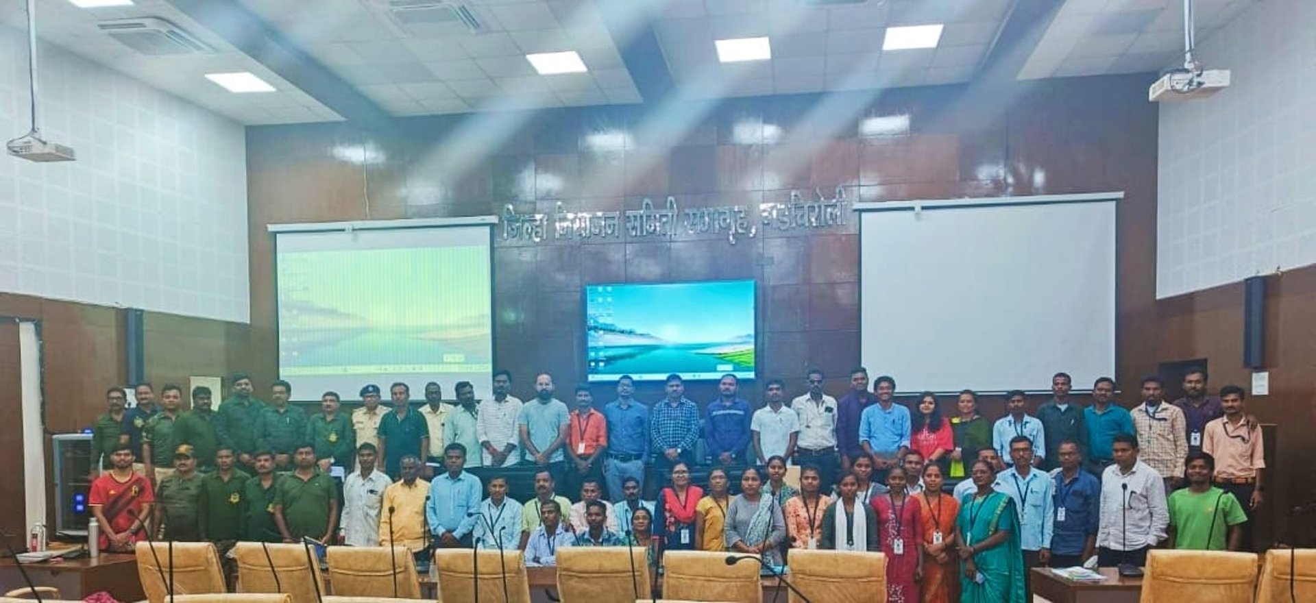
In a significant step towards enhancing data-driven forest governance, a three-day training programme on nCount and Open Data Kit (ODK) Collect was conducted in Gadchiroli, Maharashtra, from 11–13 September 2024. The training was organised in collaboration with the Zilla Parishad, District Transformation Committee, Maharashtra Forest Department, and Ekal Centre. This initiative aimed at equipping Sahyogi Mitras—community volunteers who promote Gram Swaraj or village self-rule—forest officials, and local stakeholders with the technical skills required to conduct boundary and resource inventory mapping effectively.
Day 1: Introduction and Orientation
The training commenced with participant introductions, bringing together a diverse group, including Sahayogi Mitras, foresters, forest guards, and district officials. The Initiative on the Forest Economy (IoFE) team from the Indian School of Business (ISB) provided an overview of the training agenda, highlighting the importance of accurate data collection for sustainable forest management.
Participants were guided through the nCount registration process, ensuring smooth onboarding onto the platform. Once onboarded, they were trained to download, access, and complete forms for forest resource and boundary mapping using the ODK Collect application. The session focused on understanding mapping protocols, emphasising that boundary mapping should capture official forest boundary pillars rather than traditional boundaries.
Despite some technical challenges, such as connectivity issues and difficulties with interface navigation, all concerns were promptly resolved. By the end of the day, test forms were successfully submitted, laying a strong foundation for the hands-on exercises scheduled for the following day.
The second day involved field-based learning at Smriti Van, where participants were divided into groups to apply their knowledge of forest resource and boundary mapping in a real-world setting.
Forest Resource Mapping
Participants received training on recording accurate locations and photo capture techniques using the ODK Collect app. They were encouraged to identify and document key tree species, including shrubs, climbers, and trails. Based on participant feedback, discussions were held to refine data collection methods to better include species of local importance. By the end of the session, a total of 260 resource mapping forms were submitted.
Boundary Mapping
The session focused on polygon mapping, enabling participants to accurately capture and delineate forest boundaries. Participants raised some key concerns, such as offline functionality and screen lock issues while collecting data. Our team reassured them that the application operates effectively even without network access. Practical demonstrations further boosted their confidence in using the tool. By the end of the day, 44 boundary mapping forms were successfully submitted.
Day 2: Practical Field Training at Smriti Van
The final day focused on resolving participant queries, refining data collection methods, and incorporating feedback from the field, as detailed below.
The tree species list was revised based on local knowledge to ensure accurate categorisation of trees, shrubs, climbers, and herbs.
Common challenges encountered in the field were discussed, including issues related to mapping accuracy, data consistency, and error rectification. Participants reviewed and analysed the captured photographs and polygon boundaries collected on Day 2.
Forest boundary mapping techniques were further refined to address cases of encroachments and unclear demarcations.
Participants raised some concerns regarding the use and sharing of collected data. Our team, along with Ekal Centre coordinators, assured them that the data would be used to support village-level management plans, facilitate species conservation, and improve decision-making for sustainable forestry. A monitoring dashboard will be developed, with restricted access for authorised personnel.
The training concluded with a vote of thanks, chaired by the Deputy Chief Executive Officer (CEO) of the Zilla Parishad and Ekal Centre representatives. Participants expressed enthusiasm for applying their newly acquired skills, particularly in strengthening local forest governance and conservation efforts.
Final modifications to the forms and methodologies will be incorporated based on the feedback received. Furthermore, full-scale data collection will commence soon in Dhanora Block. This initiative marks a crucial step towards leveraging technology for participatory and transparent forest management in Gadchiroli.