30.06.24
Building a Digital Forest Inventory in Himachal Pradesh
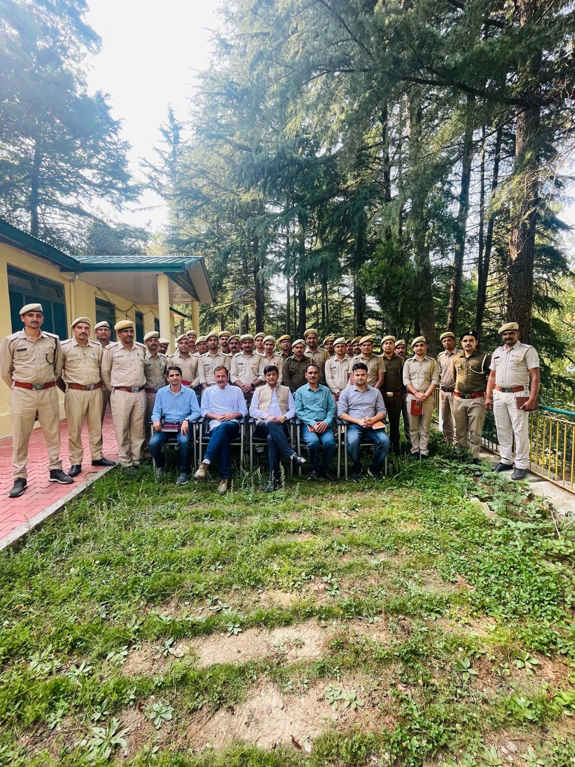
The Himachal Pradesh Forest Department (HPFD), in collaboration with the Initiative on the Forest Economy (IoFE)—led by the Bharti Institute of Public Policy at the Indian School of Business (ISB)— launched Phase I of the nCount training programme to develop a high-resolution inventory of seasonal forest products (SFPs). The initiative aims to strengthen forest resource monitoring, enable data-driven forest governance, and enhance sustainable forest-based livelihoods.
Phase I was conducted between April and May 2024 across six forest divisions—Ani, Dehra, Nachan, Nurpur, Palampur, and Paonta Sahib— and represents a critical first step towards integrating advanced digital tools and community-driven data collection in forest management practices.
Phase I: Training and Implementation
Each of the six forest divisions hosted two hands-on training workshops. The first introduced nCount's mobile-based digital ecosystem and guided participants through user registration, platform access, and forest inventory processes using Open Data Kit (ODK) or GIC Collect applications. A practical field demonstration reinforced the steps for capturing accurate geo-referenced data on trees, shrubs, herbs, and grasses.
The second workshop focused on data validation procedures and ground-truthing techniques, enabling forest officials to verify model outputs and refine the quality of recorded observations. These workshops engaged a diverse group of forest functionaries—including Divisional Forest Officers (DFOs), Range Officers (ROs), Range Assistants, and Forest Guards—and equipped them with standardised methods for field data collection.
The forest officials were directed to collect at least 5,000 data points per tree species and 100–150 patches per beat for shrubs and herbs, prioritising high-altitude species. However, the forest-fire season, unpredictable weather, and accessibility issues posed considerable challenges. In the Palampur Forest Division, missing Keyhole Markup Language (KML) files caused gaps in data collection, necessitating updated Geographic Information System (GIS)-based planning.
To ensure seamless implementation, range-wise WhatsApp groups were created for real-time support, troubleshooting, and follow-ups. In some divisions, such as Dehra and Nurpur—where iOS users faced technical difficulties with GIC Collect—our team optimised the user interface.
The nCount dashboard was used to monitor real-time progress across all six divisions, enabling forest officials to track submissions and identify species-specific data gaps. Strategic discussions with HPFD led to targeted adjustments, including increasing the GPS-accuracy threshold and integrating species distribution modelling into the workflow.
By the end of Phase I, the initiative successfully trained forest officers and field staff in all six forest divisions, with approximately 40,000 data points collected. This milestone paved the way for deeper analytical insights into forest inventory trends, improving species-specific forest management strategies.
Phase II Roadmap
Phase II, scheduled for July 2024, will expand the training programme to five additional forest divisions—Parvati, Rohru, Lahaul, Churah, and Pangi—while incorporating drone-based mapping and artificial intelligence (AI)-driven predictive modelling. A structured data-validation exercise will also be launched to ensure that field-collected data aligns with high-precision geospatial analyses.